
January 14, 2026: House of Hiranandani has unveiled an AI-driven infrastructure visualisation titled “Future Routes, Future Thane”, offering a data-backed view of how upcoming transport projects are expected to reshape connectivity from Thane in the coming years. The film combines AI-generated imagery and videos with Government-approved project data to illustrate how new tunnels, metro corridors, expressways, and airport links could significantly cut travel time between Thane and key locations across the Mumbai Metropolitan Region (MMR).
Centred around House of Hiranandani’s Westgate project in Thane, the initiative aims to help prospective homebuyers assess the long-term impact of planned infrastructure on daily commuting, ease of access, and overall livability. Rather than focusing on short-term advantages, the visualisation places emphasis on how mobility patterns in and around Thane are expected to evolve as major projects are completed.
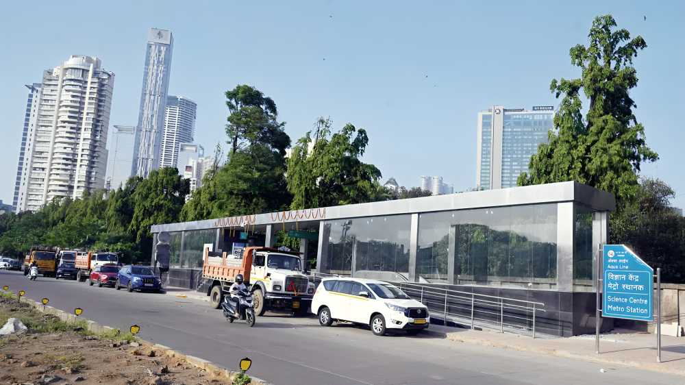
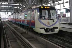
The film highlights seven key transport corridors projected to converge around Thane, positioning the city as a highly connected residential hub within the MMR. By showcasing multiple access routes, the approach addresses a long-standing commuter challenge—dependence on limited road or rail options—while underlining the benefits of a more resilient, multi-modal transport network.
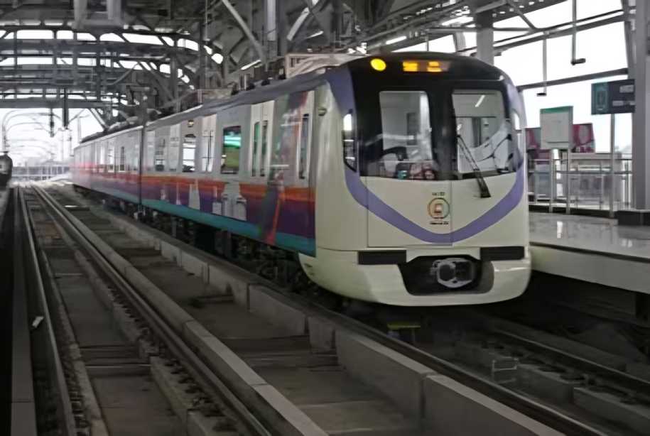
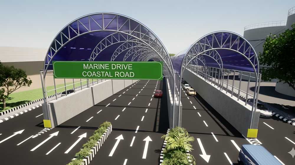
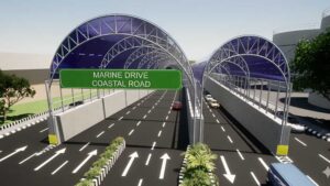
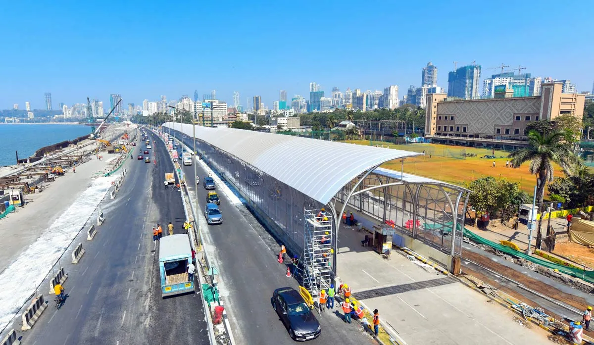
This infrastructure-led shift aligns with the Government of India’s Vision 2030, which prioritises integrated mobility, transit-oriented development, and future-ready urban centres. Large-scale investments in metro networks, expressways, highways, and airport corridors are central to this strategy, with the aim of easing congestion, improving commute reliability, and supporting decentralised growth across the region. Projects such as Metro Routes 4 and 5, the Thane–Borivali Twin Tube Tunnel, and the Thane–Navi Mumbai International Airport Elevated Road exemplify this approach. According to House of Hiranandani, their combined impact extends beyond reduced travel time, improving access to employment hubs, commercial districts, and social infrastructure while lowering daily travel uncertainty.
Unlike conventional real estate communication, the AI-based film relies on verified infrastructure data rather than lifestyle-led imagery. It overlays planned routes, timelines, and traffic simulations to demonstrate how congestion levels could change as new corridors become operational.
“Homes are increasingly being evaluated on connectivity and commute predictability,” said Mr. Prashin Jhobalia, Chief Marketing Officer, House of Hiranandani. “This visualisation uses AI and publicly available data to show how upcoming infrastructure can impact daily travel, helping buyers make more informed decisions.”
By focusing on future mobility outcomes, the initiative reflects global transit-led development models and highlights how infrastructure planning is becoming a central factor in residential decision-making as Mumbai evolves into a multi-nodal urban region.