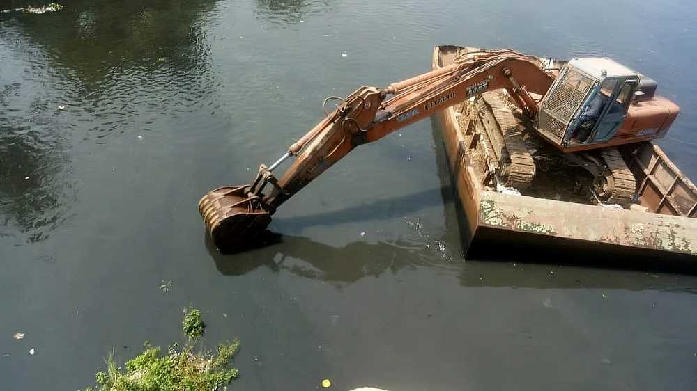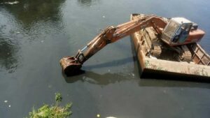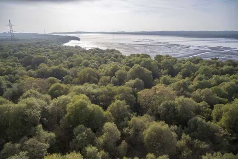

January 27, 2026: A new interactive mapping tool developed by urban researcher and geospatial analyst Abhijit Ekbote allows citizens to assess mangrove loss caused by the proposed Versova–Dahisar Coastal Road, which the Brihanmumbai Municipal Corporation (BMC) estimates will require cutting down at least 45,000 mangroves.
Hosted on CityResource.in, a platform providing archival maps, spatial data, and tools for communities, planners, and researchers, the tool clearly shows the alignment of the coastal road across residential and commercial zones, creeks, and green patches. Users can select a stretch, measure its area, and calculate the number of mangroves likely to be felled.
“For citizens, there is no way barring this mapping tool to understand the alignment of the road on the ground,” Ekbote told Hindustan Times. He said the initiative, completed last week, addresses the lack of spatial clarity in official documents, combining satellite imagery with transparent overlays to create actionable data. “The tool is all about making environmental damage visible,” he added.
Stalin Dayanand, director of Vanshakti, said the tool highlights the true environmental impact: “The map shows that the scale of mangrove destruction will be far greater than acknowledged. It also reveals that real estate firms eyeing coastal land under the guise of ‘development’ stand to gain from the project.”
Ekbote has previously developed similar tools to track flooding hotspots, forest cover changes, and urban development impacts, helping citizens make informed interventions. Resident Satyajit Chavan, from Anand Nagar in Dahisar, said, “With mangroves in the Dahisar–Kandarpada creek belt being cleared for the coastal road, the situation is likely to worsen, especially in low-lying areas.”
The tool is accessible at CityResource.in. Users can trace a road stretch, download data in geojson format, and calculate mangrove loss using QGIS, assuming an average density of 3,500 mangroves per hectare.
By putting complex environmental data in public hands, the tool aims to empower citizens to understand, monitor, and advocate against ecological degradation linked to large-scale infrastructure projects.
Source: Hindustan Times