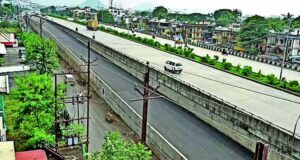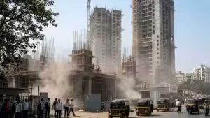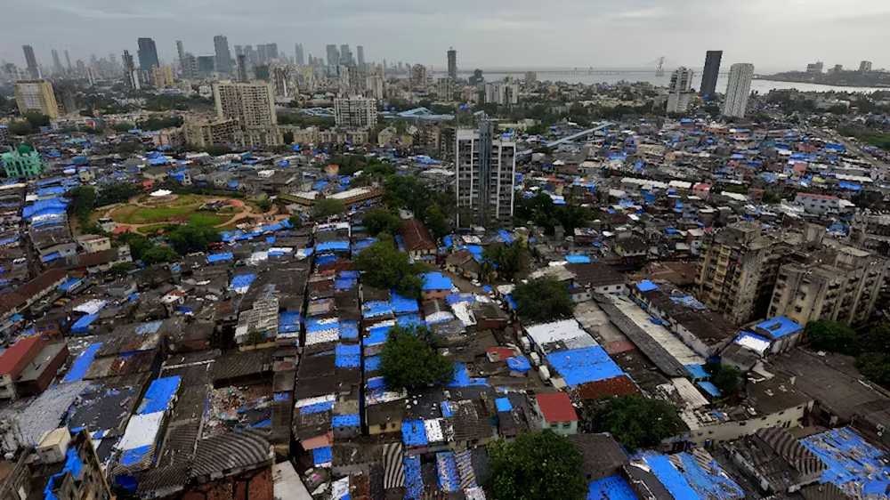

As the Dharavi Redevelopment Project gathers pace, one of Mumbai’s most iconic neighbourhoods is being digitally preserved before it undergoes a historic transformation. A comprehensive three-dimensional digital twin of Dharavi is being created to document the settlement in its current form while supporting planning, rehabilitation, and future urban management.
Developed using drone surveys, LiDAR scanning, lane measurements and door-to-door mapping, the digital model will serve as an accurate virtual replica of Dharavi. Beyond assisting engineers and planners, it is expected to play a vital role in the redevelopment process by recording the exact location of homes, businesses, utility connections and community infrastructure.
The digital twin will enable authorities to identify properties affected by redevelopment, streamline rehabilitation planning and minimise disputes by replacing fragmented records with a single, detailed database. Officials involved in the project describe it as a “single source of truth” that will support design reviews, construction monitoring and long-term management of the redeveloped township.
Spanning around 621 acres, Dharavi has evolved into one of Mumbai’s most important economic and cultural hubs, housing a diverse mix of communities, small industries and traditional businesses. The digital archive is expected to preserve this unique urban fabric even after the physical landscape changes.
Long after narrow lanes give way to wider roads, modern housing and new commercial districts, the settlement will continue to exist in digital form. Future generations will be able to understand how Dharavi was organised, where people lived and worked, and how one of Mumbai’s most densely populated neighbourhoods functioned before redevelopment.
The technology also has wider urban planning applications. Experts believe digital twins can improve infrastructure planning, emergency response, flood management and civic asset monitoring. Similar systems are already used in cities such as Singapore and at major transport hubs including Heathrow Airport.
While the model cannot capture Dharavi’s everyday sights, sounds and community life, it will preserve the physical layout that supported decades of economic activity and social interaction. As redevelopment reshapes the locality, the digital twin will ensure that the history and spatial identity of one of Mumbai’s most distinctive neighbourhoods are not lost.
Source: India Today