
In the City of Dreams, every new Metro corridor is opening a new chapter for the real estate industry. Mumbai’s expanding Metro network is not only changing travel patterns but also reshaping property maps, pushing up land values and turning future stations into magnets for speculation.
There was a time when residents of Mumbai waited for Metro stations because they wanted faster commutes and a little less time stuck in traffic.
That was the original dream.
Today, the first batch of passengers waiting for every new Metro line is not always commuters. They are property investors armed with spreadsheets, WhatsApp groups and an impressive ability to discover a “future growth corridor” even before the first train arrives. The Metro may still be years away, but the price appreciation has already reached the station.
Somewhere in the city, an engineer marks a future Metro alignment. Somewhere else, a property listing quietly adds a premium.
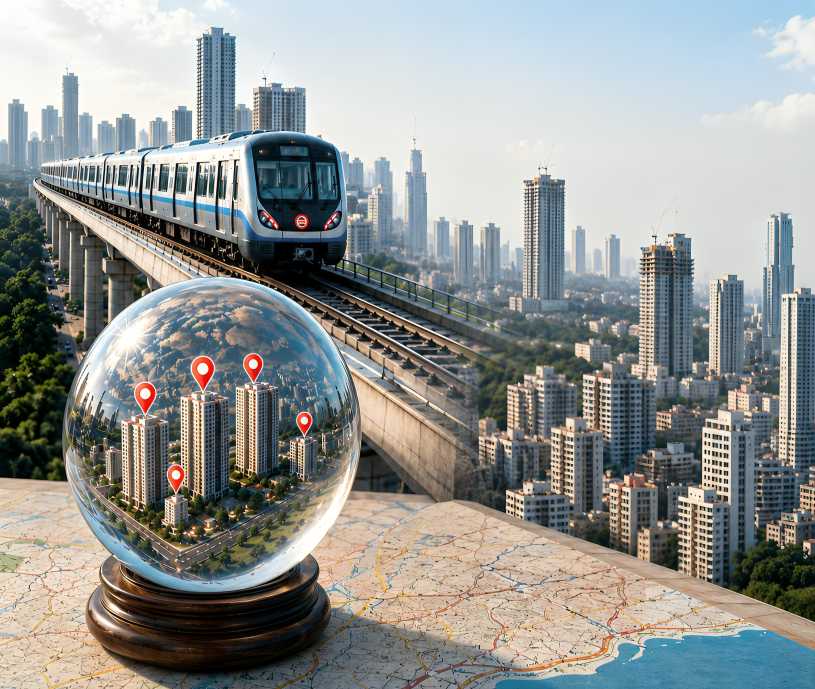
The Metro has become Mumbai’s most reliable real estate crystal ball. Forget fortune tellers. If you want to predict the next property hotspot, simply ask one question: Where is the next station coming up?
The numbers almost encourage this behaviour. Mumbai recorded more than 80,200 property registrations during the first half of 2026, its strongest January-to-June performance in over a decade. Stamp duty collections during the same period touched nearly Rs 6,968 crore, proving that optimism remains one of the city’s most valuable assets. Confidence travels remarkably faster than construction.
The fascinating part is that infrastructure announcements now perform two jobs simultaneously. Officially, they promise mobility. Unofficially, they announce tomorrow’s property brochure.
“Ten minutes from the upcoming Metro.”
“Future growth corridor.”
“Investment hotspot.”
The station itself may still exist only in engineering drawings, but the premium has already been invoiced.
One begins to wonder whether developers employ transport planners or fortune tellers.
This is not to diminish what the Metro network is achieving. Mumbai’s rapidly expanding system is one of the country’s biggest urban infrastructure transformations, with the planned Mumbai Metro network spanning around 337 km across multiple corridors, including operational, under-construction and proposed lines. Once completed, the system is designed to carry around 100 lakh commuters daily, significantly expanding the city’s public transport capacity.
Multiple corridors are under construction, with projects such as Metro Line 4A (Kasardavali-Gaimukh) extending connectivity in the Thane region through a 2.7 km corridor with two stations, while other extensions are expected to connect emerging residential zones across the MMR. Thousands are expected to shift from road to rail every day once these corridors become operational. Faster mobility improves productivity, reduces congestion and connects neighbourhoods that once felt impossibly distant.
The problem begins when the station becomes the destination.
A Metro line should create complete neighbourhoods, not merely expensive pin codes. Schools, hospitals, public spaces, footpaths, drainage, parks and affordable housing somehow struggle to appear with the same enthusiasm as glossy sales offices.
Curiously, every project brochure promises “walk-to-Metro convenience,” while the actual walk often involves dodging broken pavements, parked vehicles and puddles large enough to qualify as water bodies.
Even Mumbai’s redevelopment boom occasionally resembles a relay race where speculation is sprinting while urban planning is still tying its shoelaces.
The irony becomes even sharper when one remembers that more than half of daily journeys in Mumbai are still made on foot, despite the city’s growing investment in transport infrastructure. A station connected by unsafe footpaths is rather like building a luxury airport without a runway.
Meanwhile, the Mumbai Metropolitan Region continues to prepare for an economic transformation, with long-term projections estimating its economy could exceed USD 1.5 trillion by 2047. That ambition deserves infrastructure which creates genuinely liveable communities, not merely profitable launch events.
Perhaps the next Metro announcement should come with two maps.
The first should show where the trains will stop.
The second should show where the schools, parks, drainage upgrades, affordable homes and safe footpaths will arrive.
Because a Metro station should only predict shorter travel times and Not just the longer price lists.