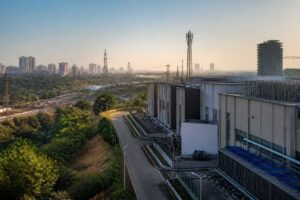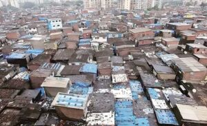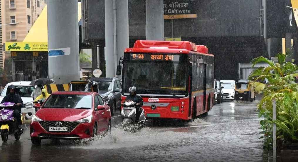

The Brihanmumbai Municipal Corporation (BMC) has identified several flood-prone areas across Mumbai as part of its latest waterlogging hotspot assessment, highlighting the need for location-specific solutions along with citywide drainage improvements to tackle monsoon-related flooding.
The assessment indicates that the Mithi River basin continues to be one of the city’s most vulnerable flood zones. At the same time, areas connected to the Poisar and Dahisar river systems in the western suburbs have emerged as priority locations requiring focused flood mitigation measures.
Several civic wards that have reported recurring waterlogging incidents over the past decade have been identified in the preparedness framework. Areas including Kurla, Sion, Ghatkopar, Vidyavihar, Bandra East, Andheri East and West, Powai, Mahim and Dharavi remain vulnerable due to their location within the Mithi River catchment. Dense urban development, limited drainage capacity and tidal influence have contributed to increased flood risks in these regions.
The assessment also highlights Malad, Kandivli and Borivali as important waterlogging hotspots linked to the Poisar and Dahisar river catchments. Experts have pointed out that rapid urban growth in these western suburbs has increased paved surfaces and reduced natural water absorption, leading to higher runoff during intense rainfall events.
Municipal officials have stated that flood management strategies will be customised based on local conditions instead of applying a single solution across the city. While major infrastructure works continue in the Mithi River basin, areas in the north-western suburbs may require decentralised measures such as improved drainage networks, upgraded outfalls and flood-control systems to reduce water accumulation and tidal backflow.
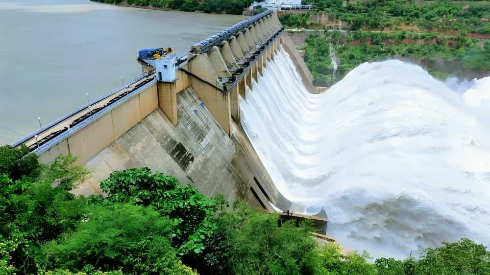
As part of the broader flood prevention plan, the civic administration is moving ahead with the installation of automated floodgates at key discharge points. Several such structures are planned in the Mithi basin, while additional gates will be installed at outlets connected to the Arabian Sea to prevent seawater from entering drainage channels during high tides.
Climate experts have noted that Mumbai’s flood risks are expanding beyond traditional low-lying areas due to changing rainfall patterns, frequent cloudburst events, rising sea levels and increasing urban construction.
The hotspot mapping exercise is expected to support future drainage upgrades, emergency response planning and urban development decisions. Experts believe that combining large infrastructure projects with protection of natural waterways, regular maintenance and climate-resilient planning will be crucial to reducing flooding risks in Mumbai.
Source: Urban Acres