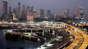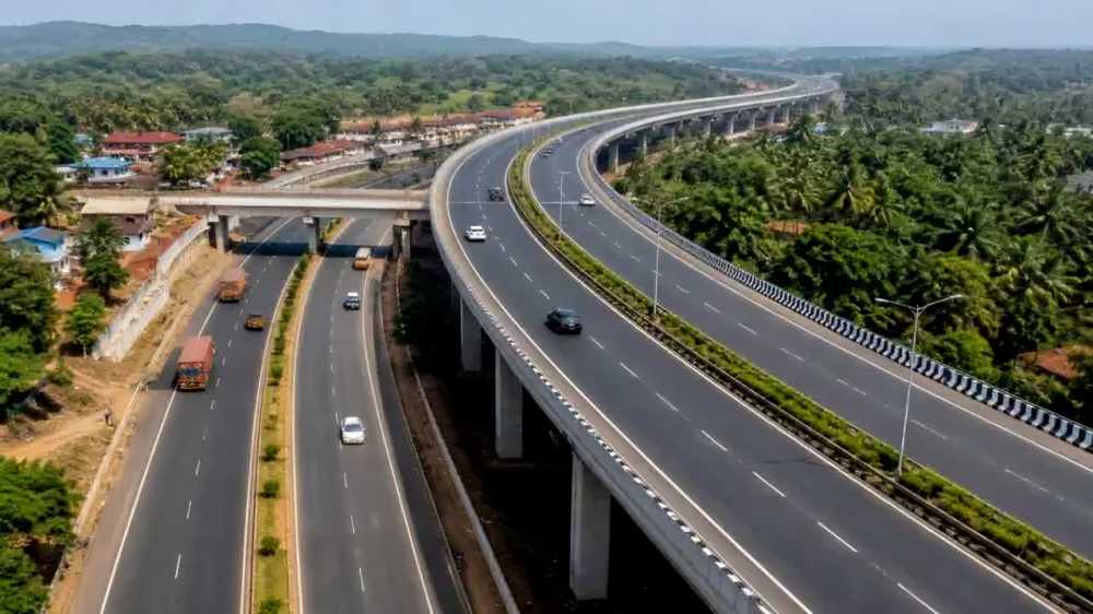

Mumbai’s long-term road infrastructure plan is expanding, with the Ring Road Master Plan now covering 10 interconnected routes spanning around 1,139 km across the Mumbai Metropolitan Region (MMR). The expanded network is intended to create multiple travel options and strengthen connections between the city’s eastern and western corridors.
A key addition is Ring 10, a roughly 27-km route designed to connect important central Mumbai road links, including Pethe Marg, Wadi Bunder, the Eastern Freeway and the Sewri-Worli corridor.
Ring 10 Adds Another East-West Connection
Rather than functioning as a standalone road, Ring 10 is planned as part of the wider ring-road system, allowing it to work with existing and upcoming infrastructure.
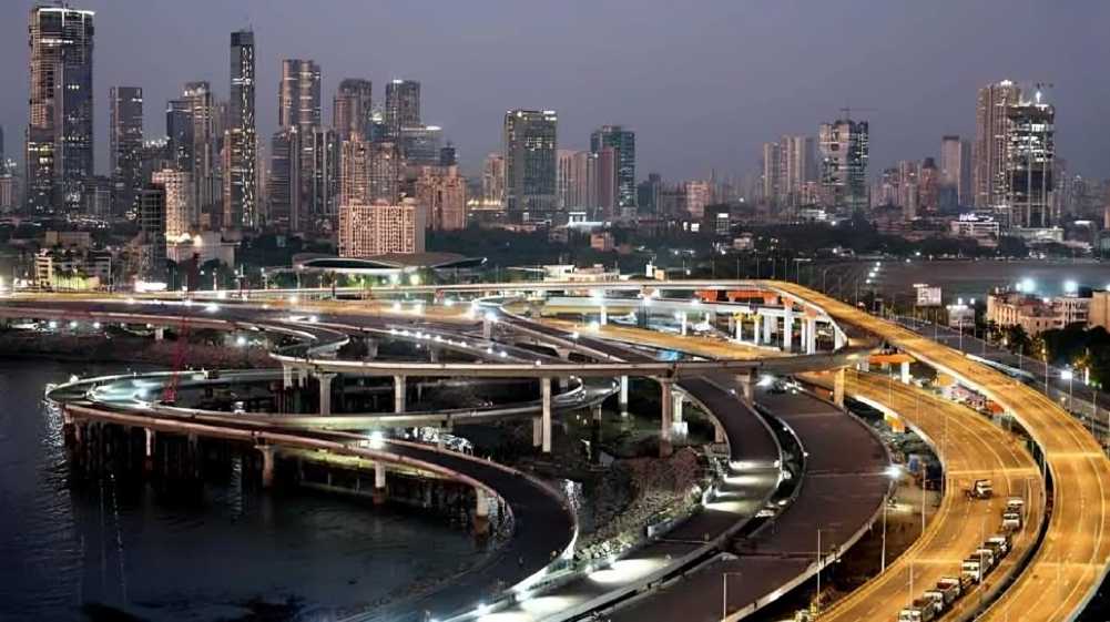
The broader strategy also underlines how relatively short connecting stretches can improve the efficiency of much larger road networks. The recently completed 1.4-km final section of the Santacruz-Chembur Link Road (SCLR), for example, completes around 10.3 km of signal-free east-west movement between the city’s major express highways.
Existing Infrastructure to Be Used More Efficiently
An important feature of the proposal is that individual roads and infrastructure projects can form parts of multiple ring routes. This means the city will not necessarily need to construct a completely new highway for every ring.
For example, Ring 1 and Ring 10 are both approximately 27 km, but their alignments connect different sections of Mumbai’s transport network.
The integrated approach is intended to distribute traffic across multiple corridors rather than concentrating vehicles on a handful of major roads. Better links between existing highways, coastal routes, freeways and regional corridors could also offer motorists alternative paths during peak periods.
Wider Connectivity Across the MMR
The proposed 1,139-km network extends beyond Mumbai’s island city and suburbs into the wider metropolitan region, linking areas such as Virar, Bhayandar, Thane, Alibaug and Mira-Bhayandar with major regional transport corridors.
The plan reflects a broader shift in Mumbai’s infrastructure strategy: instead of relying solely on individual road projects, authorities are looking at how multiple completed, ongoing and proposed links can function together as one network.
Once developed, the 10-ring system could provide greater route redundancy, stronger east-west connectivity and improved movement across the rapidly expanding MMR, while making better use of the infrastructure already being built across the region.
Source: Financial Express