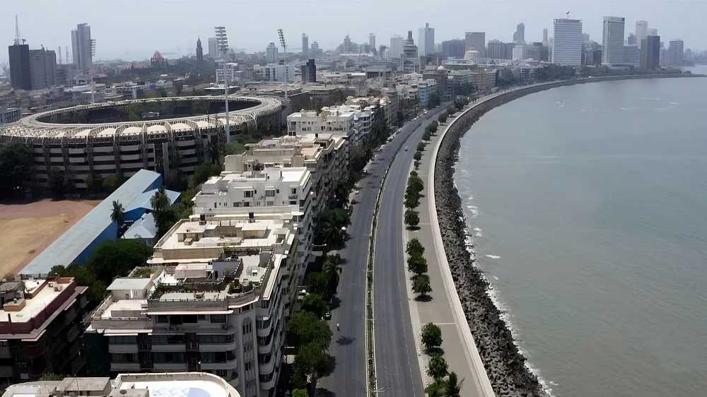

Mumbai’s proposed 27-km inner ring road around Nariman Point will form the first link in a larger ring-road network aimed at creating alternative travel routes, connecting major eastern and western corridors and reducing dependence on the city’s busiest north-south roads.
The initial loop will connect Nariman Point through the Mumbai Coastal Road, Sewri-Worli Elevated Connector, Eastern Freeway and the Orange Gate-Marine Drive link before returning towards the Nariman Point area.
The Coastal Road and Eastern Freeway are already operational, while the Sewri-Worli Elevated Connector and Orange Gate-Marine Drive connection are still under construction. Their completion will be essential for closing the 27-km circuit and allowing motorists to use it as a continuous alternative route.
The Nariman Point loop is the smallest among a series of proposed rings spanning the Mumbai Metropolitan Region. Other planned loops range from 34 km to 273.5 km and are expected to integrate major roads, elevated corridors, tunnels and sea links.
The wider network will incorporate infrastructure such as the Bandra-Worli Sea Link, Western Express Highway, Santacruz-Chembur Link Road, Jogeshwari-Vikhroli Link Road, Eastern Freeway Extension, Northern Coastal Road, Dahisar-Bhayandar corridor, Uttan-Virar Sea Link and Atal Setu.
Alternative Routes to Ease Congestion
The ring-road strategy was first proposed by MMRDA Commissioner Dr Sanjay Mukherjee in 2024 as an effort to reshape Mumbai’s road network. Rather than focusing only on point-to-point connections, the approach promotes orbital and east-west movement, allowing motorists to bypass heavily congested central stretches.
The concept also means that individual infrastructure projects can serve multiple journeys once they are interconnected. A sea link, tunnel or elevated road that initially serves one route can become part of a much larger travel corridor as additional links are completed.
For example, motorists could enter the network through one corridor and continue across several connected routes instead of relying exclusively on traditional roads running through densely congested parts of Mumbai.
Each Link Critical to the Network
The effectiveness of the ring-road system will depend on completing and integrating the remaining projects. Every new connector can close a gap while simultaneously increasing the usefulness of existing infrastructure.
An east-west link could connect two major north-south corridors while also becoming a section of a larger orbital route. This interconnected approach is expected to improve network flexibility and distribute traffic more evenly.
The 27-km Nariman Point loop will therefore serve as the first building block of Mumbai’s broader ring-road vision, with its full benefits dependent on the completion and seamless integration of the projects currently under construction.
Source: The Free Press Journal