
Mumbai is undertaking a fresh assessment of its coastal vulnerability, even as large infrastructure projects and land-use changes continue to reshape the city’s shoreline and drainage landscape.
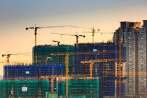
The Brihanmumbai Municipal Corporation (BMC) has commissioned its second coastal-risk assessment in five years, citing significant changes along Mumbai’s approximately 149-km coastline. More than 100 hectares of the Arabian Sea have been reclaimed for the Coastal Road, while salt-pan areas and mangrove-rich zones are also facing development pressure.
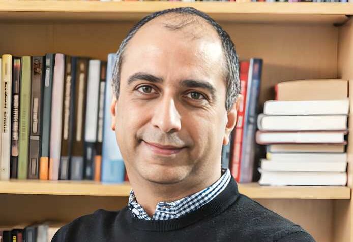
Environmental anthropologist Nikhil Anand, whose work focuses on Mumbai’s water systems and urbanisation, argues that the city’s exposure to flooding is closely linked to how its landscape has evolved.
“Mumbai’s vulnerability has been intensified by the way it has developed,” he says. “That process did not begin five or ten years ago. It has continued for two centuries.”
Coastal Risk Extends Beyond the Shoreline
The upcoming assessment is expected to examine sea-level rise, storm surges, land-use changes and coastal construction. However, Anand says Mumbai’s flood risk cannot be understood by studying the visible coastline alone.
“The sea does not enter only across a horizontal line,” Anand says. “Water is above us and below us. Heavy rain comes from above, while seawater can push into drains from underneath during high tide. A coastal wall cannot solve either problem.”
Low-lying areas such as Kurla, Ghatkopar and BKC can be affected by intense rainfall, tidal backflow and reduced natural drainage capacity despite being away from the open sea.
Development and Drainage in Focus
Anand says the new assessment should examine whether reclamation and coastal infrastructure have altered tidal movement, drainage outfalls and rainwater flows.
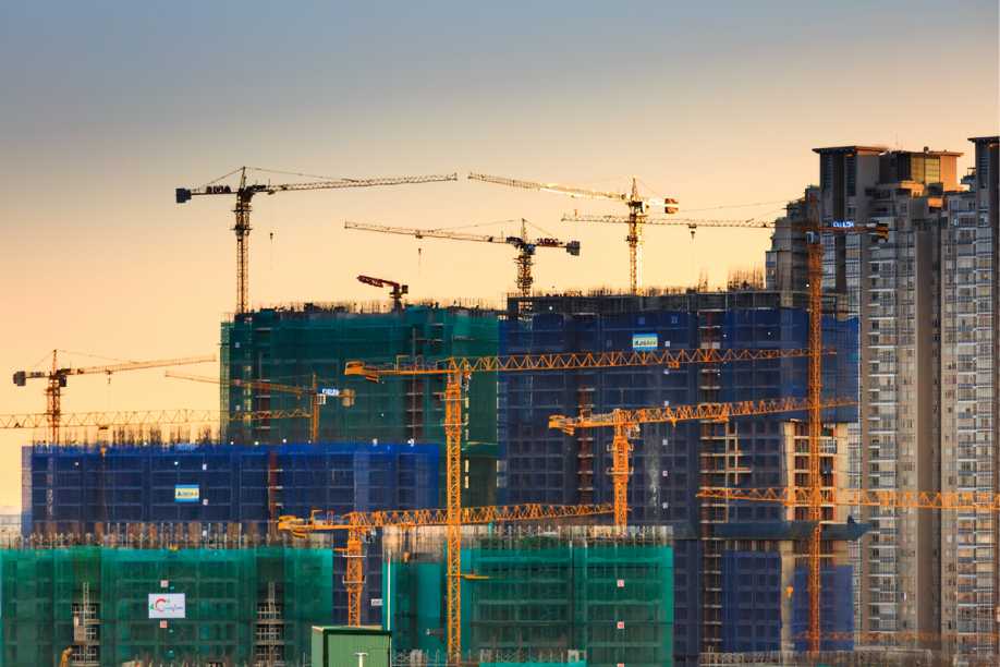
“If the BMC says reclamation, salt-pan development and the Coastal Road have changed the conditions enough to require another map, it is acknowledging that its own projects can alter vulnerability,” he says. “Infrastructure presented as protection or progress may increase the danger faced elsewhere.”
He also questions a transport strategy heavily centred on roads.
“If Mumbai defines congestion as a problem of cars, it builds roads,” he says. “If it defines congestion as a problem of moving people, it invests in trains, buses and safe pedestrian access. Every project has a particular public in mind. We should say clearly who that public is.”
Preserving Natural Defences
According to Anand, Mumbai’s wetlands, mangroves, maidans and salt pans historically absorbed rainfall, but extensive construction has increased surface runoff.
“The same rainfall can now produce roughly twice the run-off,” he says. “A flooded maidan or salt pan harms very few people. Once those spaces are filled, that water enters streets, homes and railway lines.”
He believes protecting remaining natural spaces should be treated as an essential climate strategy.
“We know mangroves, salt pans and wetlands provide protection even if we cannot quantify every litre,” he says. “Many cost nothing to preserve. Leave them alone. Preventing further destruction is progress, and it does not require another expensive project.”
Ultimately, Anand argues that Mumbai’s climate planning must measure not only physical hazards but also housing, water security and the ability of vulnerable communities to recover.
“The problem is not knowledge,” he says. “The problem is whether these solutions can survive real-estate interests and development plans.”
For Mumbai, the value of the latest risk assessment will depend on whether its findings influence future development decisions rather than simply documenting risks after the landscape has already changed.
Source: Mumbai Mirror