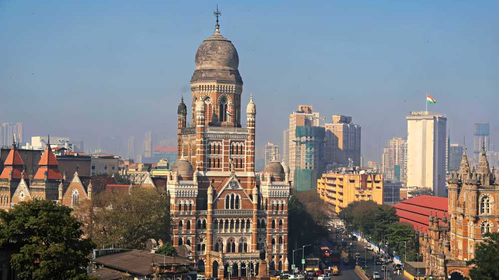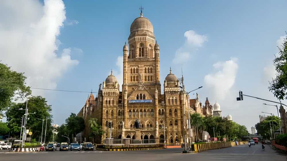

The Brihanmumbai Municipal Corporation has begun integrating Mumbai’s 3D digital city model with key civic departments in an effort to strengthen urban planning, improve regulatory oversight, and streamline revenue management. The initiative currently connects departments such as building proposals, property tax, and estates, with additional civic functions expected to be added in stages.
The 3D platform, often described as a “digital twin” of Mumbai, offers a highly detailed virtual representation of the city. It includes mapping of buildings, roads, bridges, flyovers, underpasses, open spaces, water bodies, and slum settlements. The system also provides 360-degree street-level visual access, enabling officials to inspect areas remotely without requiring physical site visits.
One of the primary benefits of the integration is the ability to compare sanctioned building plans with actual on-ground construction. Civic authorities believe this will help detect unauthorised structures, encroachments, and deviations from approved layouts more effectively. Officials can also verify building heights, floor details, and access roads before issuing approvals or initiating enforcement action.
The civic body also expects the system to strengthen property tax assessment and revenue collection. By linking the digital model with property tax and estate records, discrepancies related to property size, usage, and classification can be identified more accurately, reducing revenue leakages.
Authorities indicated that the platform will be particularly valuable in congested and older neighbourhoods where closely packed structures make manual inspections difficult. Remote monitoring is expected to improve tracking of redevelopment activity and structural changes in such areas.
The integration is also aimed at improving coordination between departments by combining data related to underground utilities, infrastructure networks, and existing developments on a single platform. This could help reduce delays in approvals and project planning caused by fragmented information systems.
Additionally, the model is expected to support infrastructure planning and disaster preparedness by enabling simulations and impact assessments of future developments.
The initiative follows recent efforts by the BMC to digitise approvals and introduce AI-driven systems to make real estate governance more transparent and efficient. Urban experts say such technology could help address long-standing gaps between approved plans and actual construction while improving accountability across the development process.
Source: Prop News Time