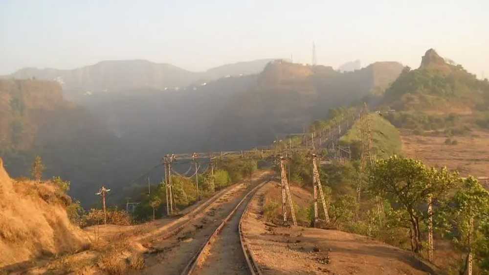

Monkey Hill railway station in the Khandala Ghat section of the Mumbai-Pune railway route is set to receive road connectivity, with the railway administration planning a 1.5-km concrete road linking the station to the Mumbai-Pune Expressway.
The proposed road is aimed at improving access to the remote station, particularly during the monsoon when landslides and accidents can disrupt railway operations. At present, trains are the primary mode of reaching Monkey Hill, making it difficult for emergency teams, ambulances and heavy machinery to access the location quickly.
Road to Improve Emergency Access
The railway section between Palsadhari and Khandala in the Bhor Ghat extends for around 19-20 km and runs through forested terrain and deep valleys. Several railway stations along this stretch, including Thakurwadi, Nagnath, Jambung and Monkey Hill, have limited road access.
During the rainy season, reaching these locations through railway tracks can become challenging, particularly when landslides or other emergencies occur. The proposed road is therefore expected to provide a dedicated access route for rescue and maintenance operations.
The planned concrete road will begin from the Khandala-bound carriageway of the Mumbai-Pune Expressway and extend to Monkey Hill station. Its design will accommodate emergency vehicles, ambulances and rescue equipment.
Forest Department Approval Awaited
Since the proposed route falls within an area under the Forest Department’s jurisdiction, the railway administration has submitted a proposal seeking the necessary approvals. Construction is expected to begin after the monsoon, subject to receiving the required clearances.
The project is estimated to cost between ₹1.5 crore and ₹2 crore and is targeted for completion by December 2026.
Meanwhile, the railways is also examining the possibility of providing road access to Thakurwadi, Nagnath and Jambung stations. A feasibility assessment using Google Earth and other technical tools is being carried out to identify possible routes and determine the viability of extending road connectivity to these locations.
Source: Curly Tales